Thinking about relocating to Yakima but not sure where to start? You want a clear picture of neighborhoods, commute times, and what kinds of homes you can expect before you make a move. You’re not alone. Many buyers weigh space, convenience, and value as they compare West Valley, Selah, Terrace Heights, Union Gap, and downtown. This guide gives you a practical, local-first overview so you can prioritize the right areas, test commutes, and plan an efficient home search. Let’s dive in.
Yakima at a glance
Commute time and pace
Yakima’s scale works in your favor. The mean travel time to work sits around 17 to 18 minutes according to U.S. Census QuickFacts (2019–2023), which is shorter than many Washington metros. See the QuickFacts summary.
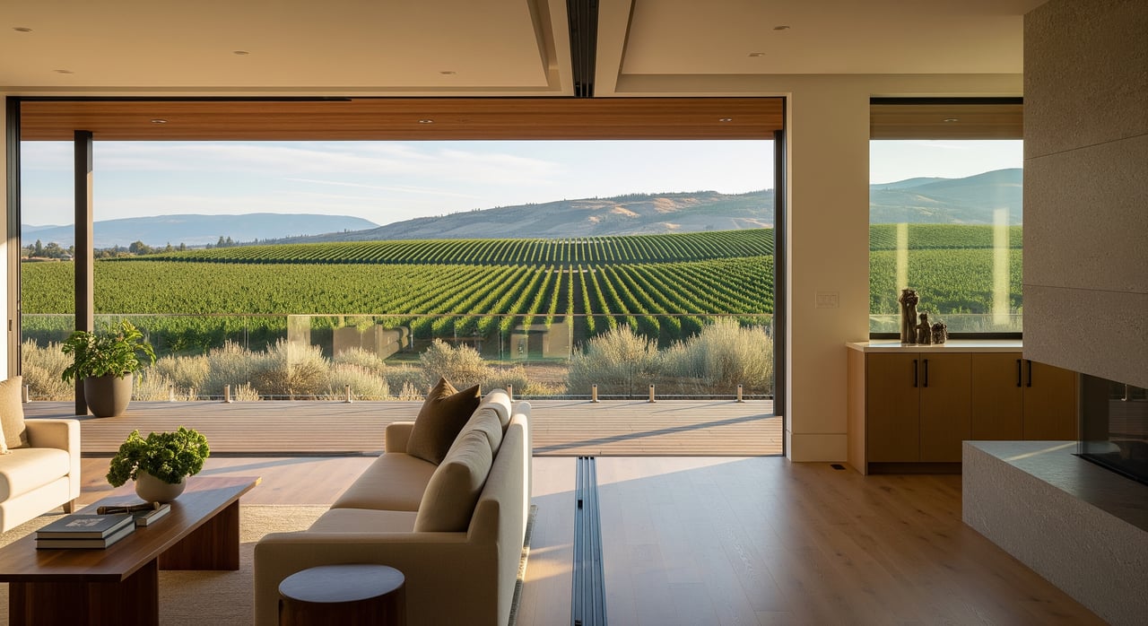
Economy and setting
Yakima anchors a major irrigated agricultural valley. Hops, tree fruit, and related agribusiness shape land use and create opportunities for larger lots and acreage on the city’s fringe. For context on the hops industry’s national footprint, review NOAA Climate’s look at beer and climate.
How the city is laid out
Key corridors and orientation
Yakima sits east of the Cascades along the Yakima River in a semi-arid valley. The river corridor and Greenway frame east–west movement, with I‑82, US‑12, and major arterials like Yakima Avenue and Nob Hill Boulevard handling most cross-town trips. City planning documents outline how these corridors influence daily life and growth. You can explore the city’s structure in the comprehensive plan and transportation plan.
Quick area overview
- North of downtown: Selah functions as a nearby small city and bedroom community with short drives into Yakima. Learn about the community on the City of Selah site.
- West and southwest: West Valley, Terrace Heights, and foothill pockets provide suburban neighborhoods and some larger residential lots.
- South/Union Gap: Close to retail centers and industrial employment with convenient freeway access.
- Downtown and older districts: Walkable pockets, historic homes, and apartments near arts, dining, and central employers.
Note: Neighborhood names and boundaries vary by source. For precise lines and zoning, confirm with city or county maps. The Terrace Heights Neighborhood Plan is one example of how local plans define areas.
Neighborhood snapshots
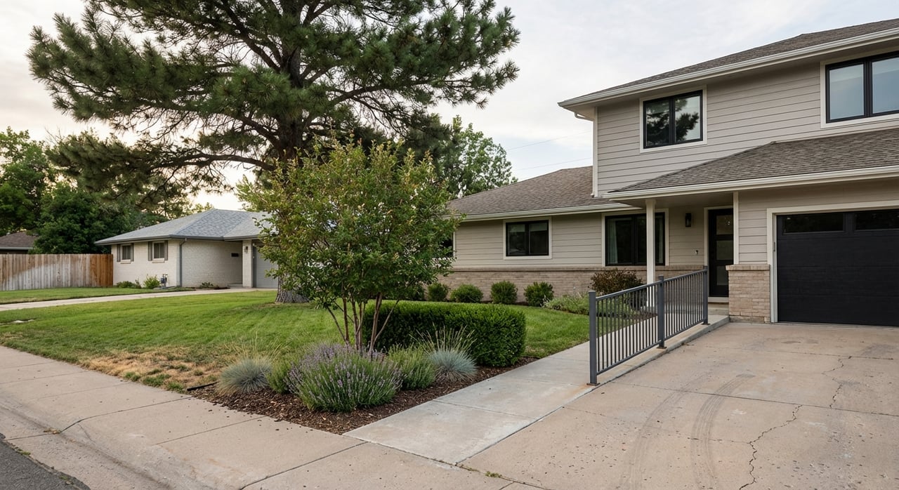
West Valley and Terrace Heights
You’ll find a suburban feel, a range of post‑war ranch homes to newer builds, and convenient access to parks and arterials. Many households choose West Valley for yard space and proximity to daily amenities. Higher-elevation pockets can offer mountain views and a quieter setting.
Selah
Selah provides a small-city pace with its own services and a short commute into Yakima. Many buyers look here for a defined town center and quick access to I‑82 and SR‑823. Prices can vary by lot size and home age, from older post‑war homes to newer small subdivisions.
Downtown and Old North Yakima
Close-in living offers walkable pockets, historic single-family homes, apartments, and easy access to central employers. If you value proximity to dining, arts, and the medical and education campuses, this area can minimize daily drive time.
Union Gap and south Yakima
This area places you near retail, industrial and distribution jobs, and I‑82. Housing includes older single-family homes and newer subdivisions. It’s a practical base for regional commuters who rely on freeway access.
Acreage on the fringe
Because Yakima sits in an agricultural valley, you will see homes on larger parcels and properties with orchard history near the city edge. If you consider acreage, confirm irrigation or water rights, what zoning allows, and any farm-use tax considerations. The city’s consolidated plan provides helpful context on land use and housing programs.
Commutes and transportation
Primary routes
I‑82 is the regional spine, linking Yakima with the Tri‑Cities and beyond. US‑12 and local arterials like Yakima Avenue, Nob Hill Boulevard, and the Selah Bypass connect neighborhoods across town. The city’s transportation plan highlights capacity and safety priorities. Before you visit or move, check for planned work or detours on WSDOT’s project advisories.
Transit options
Yakima Transit operates fixed routes in Yakima, plus Selah and Union Gap connections, a Yakima–Ellensburg commuter service, and Dial‑A‑Ride. Route maps and schedules appear in the seasonal bus book. Review the current Yakima Transit bus book to see if a line serves your workplace.
Typical patterns to test
Many West Valley or Selah residents commute to central Yakima or the medical and education campuses. Depending on your exact start and end points, drives can land in the low double digits. Use Apple or Google Maps during local rush hours to verify your own timing, especially around I‑82 interchanges and Yakima Avenue.
Homes and prices
Market signals
Public trackers in early 2026 show median or typical home values in the mid to high $300,000s for Yakima. Numbers vary by methodology, neighborhood, and lot size. Expect older small-lot homes and condos near downtown to trend below the city’s typical value, while newer homes, larger lots, and acreage can sell above it.
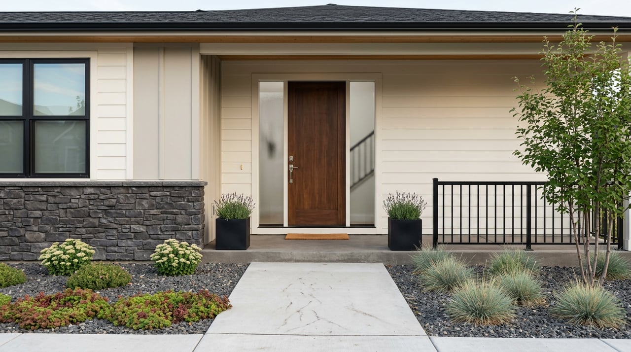
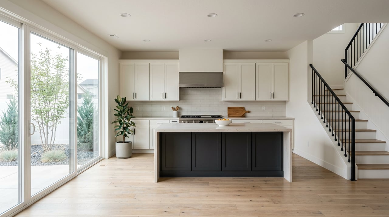
What homes look like
Inside the city you’ll see a lot of mid‑20th‑century single‑family homes, including post‑war ranches and earlier craftsman-era properties in older districts. West Valley, Terrace Heights, and foothill pockets tend to include mid‑century to newer suburban homes. For an overview of local housing stock and programs, scan the city’s consolidated plan.
Renting first
Rents are generally lower than Puget Sound metros, so some newcomers rent short term while they scout neighborhoods and times routes. City-level snapshots on City-Data can help you compare costs as you plan.
Your relocation checklist
Pre-trip prep
- Shortlist 2 to 4 areas that match your priorities for commute, yard size, and housing style. Use city maps and planning docs for a quick orientation, including the comprehensive plan.
- Check commute times for your actual workplace during AM and PM peaks. Review potential construction or detours on WSDOT advisories.
- Confirm internet providers and speeds for any address you’re considering. Tools like WhistleOut’s Yakima lookup are handy for quick checks.
On-the-ground scouting
- Drive your target commute both directions at peak times and note any slow interchanges or signals. The city’s transportation plan can help you identify key corridors.
- Visit nearby grocery stores, pharmacies, urgent care, and the hospital campus you might use. Time school pick-up and drop-off if that applies to your schedule.
- Walk the block to observe lighting, sidewalks, traffic noise, and general street activity at different times of day.
Smart questions for your broker
- What is the exact public school attendance boundary for this address, and where can I confirm transportation details? The state’s directory lists district contacts. See OSPI’s student transportation directory.
- Who are the utility providers, and is the property on city services or septic and well? For acreage or former orchard parcels, verify irrigation or water rights and zoning. The city’s consolidated plan explains relevant programs and land-use context.
- Are there floodplain, wildfire, or permitting notes in recent records that I should review before making an offer?
Local amenities in brief
Schools overview
Yakima is served by multiple public districts, including Yakima School District, West Valley School District, and Selah School District. Boundaries do not always align with neighborhood names, so confirm attendance areas directly with district offices using OSPI’s directory.
Healthcare presence
Yakima’s regional hospital system and specialty clinics are major employers, and the medical school campus adds to healthcare hiring and training. Many relocating healthcare professionals focus on proximity to central Yakima and the primary medical corridors.
Recreation and events
You’ll find everyday outdoor options along the Yakima Greenway and nearby foothills. For big events, State Fair Park and the SunDome host year-round activities, including the Central Washington State Fair. Learn more via State Fair Park references.
If you’re weighing West Valley versus Selah, or downtown walkability versus yard space, a focused plan and a local guide will save you time and stress. When you’re ready to compare neighborhoods, time commutes, and tour homes that fit your goals, connect with Cory Bemis for local, broker-level guidance.
FAQs
What is the average commute time in Yakima?
- The city’s mean work commute is about 17 to 18 minutes per U.S. Census QuickFacts (2019–2023).
Which Yakima areas have newer subdivisions?
- You’ll see more recent subdivision homes in parts of West Valley, Terrace Heights, and near Union Gap, while older areas closer to downtown feature more mid‑century and historic homes.
How does Selah compare for commuters to Yakima?
- Selah is a short drive into central Yakima in typical conditions; use address-level routing during peak hours to confirm timing for your specific route.
What should I know about acreage or former orchard properties?
- Verify irrigation or water rights, septic or well details, and zoning or farm-use tax items with your broker and local planning offices before you write an offer.
Is renting before buying common for Yakima relocations?
- Yes, many movers rent short term to learn neighborhoods and test commutes since rents are often lower than larger Washington metros.